Comprehensive Hunting App for Enthusiasts
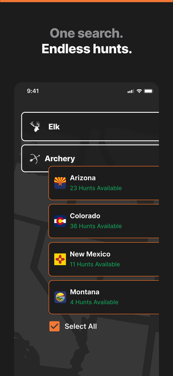
GOHUNT: Research Maps is an all-in-one application designed specifically for hunters, providing an extensive suite of tools for research and navigation. This free app enables users to find and filter hunting units based on various criteria such as draw odds, public land availability, and historical success rates. With a user-friendly interface, hunters can easily access information tailored to their specific needs across all 50 states.
The app features advanced mapping tools, including public and private land boundaries, offline maps, and the ability to share waypoints with other users. Additional functionalities include interactive 3D terrain views, GPS tracking, and detailed hunt layers for comprehensive planning. For desktop users, terrain analysis tools and a historical imagery library enhance the research experience, making GOHUNT an indispensable tool for any serious hunter.